
-
Welcome!
Register and log in easily with Twitter or Google accounts!
Or simply create a new Huddle account.
Members receive fewer ads , access our dark theme, and the ability to join the discussion!
-
-

-
-
Topics
-
-
-
-
Posts
-

By Soul Rebel · Posted
I liked him more last offseason. I'd like to see the churn with our cornerback room and see what comes out the other side. Lots of youth and potential, we just need one or two to hit. I don't want CSW to move to FS and think he's a solid enough NB as long as he's not depended on for 40 snaps a game. Thornton, Will Lee and Evans should net us at least one boundary corner and at least one dime guy if we deploy that. -

By TheCandyMan · Posted
The Canes are hoping to have Nikishin back on the ice tonight. Will be a game-time decision. Hurricane's.com Projected Lineup for Tonight: Forwards Svechnikov - Aho - Jarvis Hall - Stankoven - Blake Ehlers - Staal - Martinook Carrier - Jankowski - Robinson Defense Slavin - Chatfield Miller - Walker Nikishin/Reilly - Gostisbehere Starting Goaltender Andersen --- Injuries N/A Scratches Nicolas Deslauriers Pyotr Kochetkov Jesperi Kotkaniemi --- PP1: Aho, Ehlers (Staal), Jarvis, and Svechnikov with Gostisbehere PP2: Blake, Hall, Jankowski, and Stankoven with Nikishin/Miller -

By Jay Roosevelt · Posted
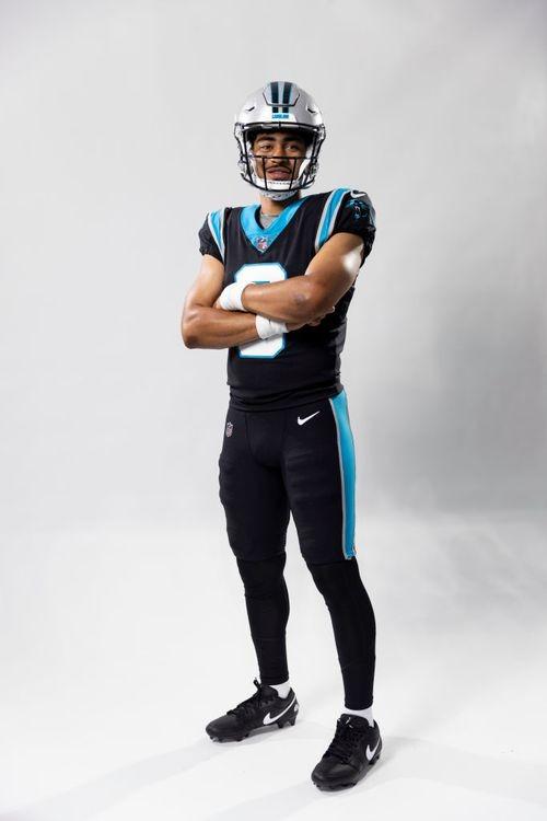
Freeling and Bain are going to battle it out for a decade in the NFC South. Should be fun to watch.
-
-


Recommended Posts
Archived
This topic is now archived and is closed to further replies.